| Name | Alagalla mountain range |
| Other Names/Old names |
Alagalla MountainAlagalla and poojagalaAlagalla Kanda |
| Location | Alagalal mountain range , kandy |
| Address | |
| Contact Number | |
| Co-ordinations | 7.2942053,80.480185 |
| Started at | |
| Trip Type | Scenic, Hiking , Adventure, Nature walk |
| Elevation | 1140 m |
| Best days/Dates to visit | – |
| Entrance Fee | |
| How to get there | Kadugannawa – Poththapitiya – Alagalla tea factory – Alagalal mountain trail
Ihala kotte railway station – Alagalla mountain trail Gangoda Railway station – Poojagala mountain trail ( Alagalla ) |
| Open times | – |
| Public Transportation | By train – Ihala kotte , Gangoda
By bus – Kadugannawa , Pilimatalawa |
| Privet Transportation | |
| Height / Length / Dimension | Elevation – 1140 m |
| Nearest Bus Stop | |
| Nearest Train Station | Ihala Kotte railway station |
Alagalla Mountain Range
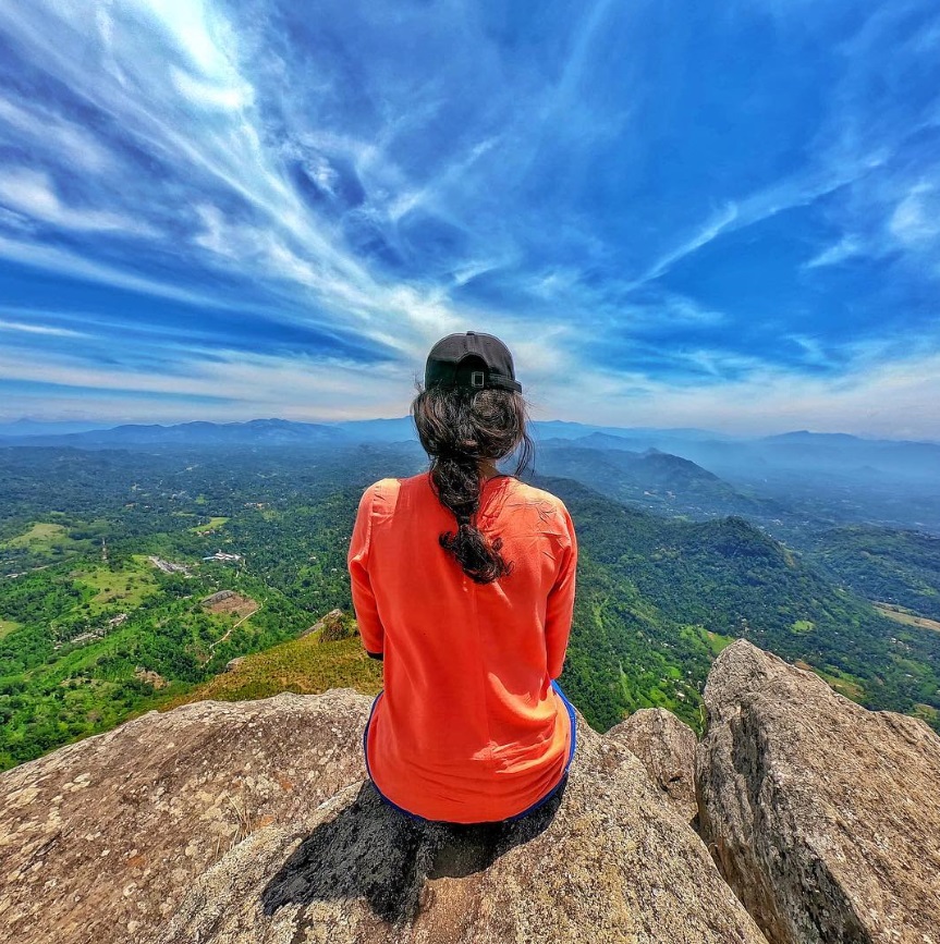
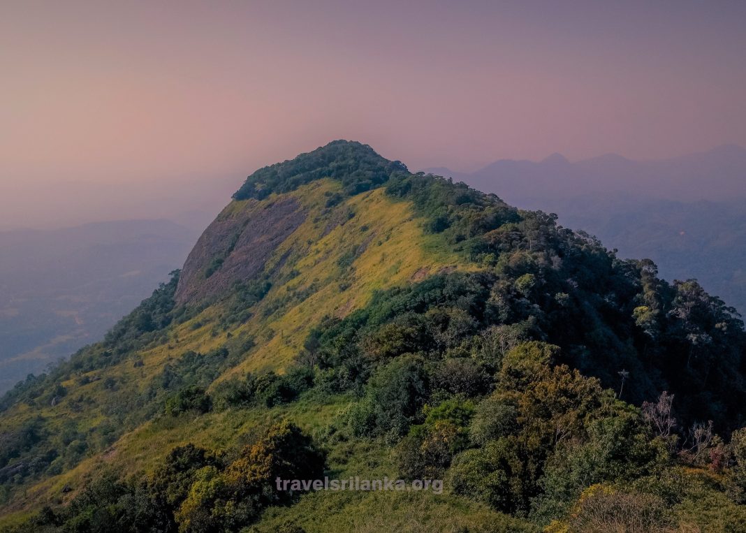
Alagalla is one of the most popular hiking destinations in Sri Lanka . This mount range is situated in the boundaries of Kandy and Kegalle Districts. Alagalla mountain range is surrounded by Bathalegala alias Bible Rock, Uthuwankanda, Dewanagala, Ambuluwawa & Hanthana.

How to Get There
There are many transportation methods you can use to get to the Alagalla mountain Kandy. You may use your own vehicle, train, or bus to get to the Mountain. Your route will follow Colombo, Mawanella, Kadugannawa, and Poththapitiya or there are other ways like Gangoda road and Ihala Kotte road. You may use any of these three as you wish and the ease of access.
History
Alagalla mountain Kandy has been acting as a defense for the Kandyan Kingdom from 1505 to 1948 when Sri Lanka was partially or completely ruled by Portuguese, Dutch, and English races. This has made the fulfillment of a great wall and made the enemy troops retreated. Balana Fortress has acted as a watch over point in ancient times and has had a strategic rock fortress and an outpost to the Kandyan kingdom. Even at present Alagalla mount range has an elegant Scenic view as well.

Activities
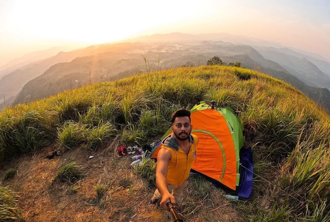
You can establish a night camp in the Mountain and have an unforgettable night. Most of the people stay in the forest at the night. The main thing you should be worried about the leeches as they are spreading rapidly in the rainy seasons. If you can wear leech resistant socks or skip the rainy season, it will be a perfect time for a camp night. Alagalla is best suited for photographers as well.
Hiking The mountain
Hiking Alagalla mountain is another best idea you can come up with as Alagalla is the best place for hiking in the country. There are lots of sceneries you can have after a completed hike. . But you should not forget to carry a rope (25m), knives, Axes (for campfire woods), or climbing purposes. There is a thick mist in the night time and it can also be considered as a threat. It’s always better to be well informed about the landmarks and taking GPS devices with you.
Tips For hiking Alagalla
3 Paths
- Path 01 – Kadugannawa – Pothtthapitiya (Tea Factory) – Start Your Hike (Can Reach by bus or privet transportation )
- Path 2 – By train up to Balana Or Ihala Kotte – Then start the hike from there
- Path 3 – Gangoda Railway station – Gangoda – Poojagala
Tips
- Start the Journey Early as possible, So you can spend more time on the mountain
- If you are traveling between Alagalla and Poojagala (Two peaks of the range) there’s a steep climb that you must beware of.
- Atealst carries 1.5L water per person. (For camping 3L) No water source on the top of the mountain
- Since locals climb the mountain on independence day, you can find the foot pathway easily after February 4th.
- It takes from 2-4 hours to climb the mountain.
- Use leech protection methods unless it’s the dry season.
- Leave the environment clean, Bring back everything you carry.


